Your cart is currently empty!

Differences between aerial imagery and an orthophoto
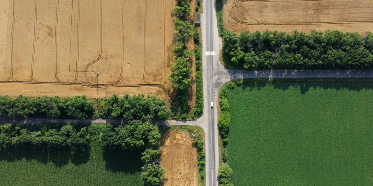
“An Image is 1000 words” is widely used to depict the wealth of information acquired by a single image. This is also true for aerial images. Such images provide information about the Earth’s surface from an unusual point of view for most people, since we are used to moving and seeing things on the ground. But what if you could harness not only qualitative but also quantitative data from these impressive visualizations?
Bridging the Gap Between Qualitative and Quantitative Insights
Qualitative information is the most profound information one can extract from aerial images. The existence of man-made structures such as buildings and bridges can be observed. Complex domain-specific information can be extracted via photo interpretation by field experts. However what about quantitative information? What are the dimensions of the observed objects? Where are they located?

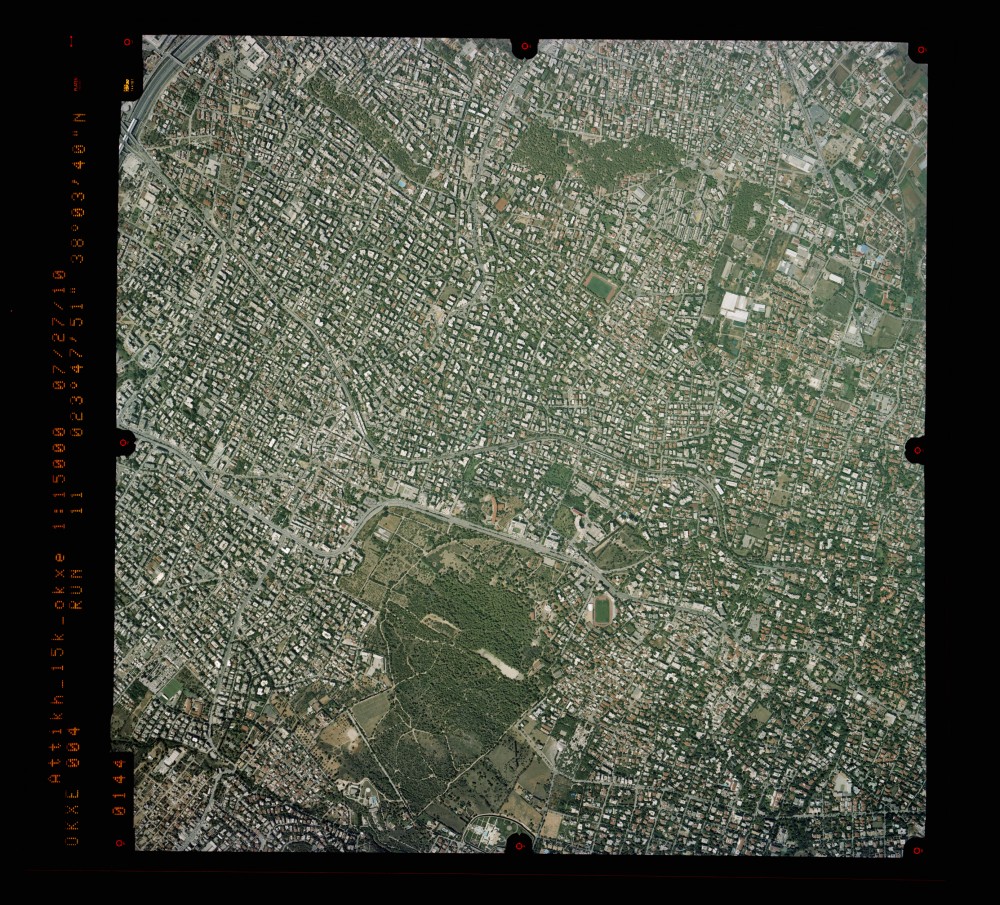
Quantitative information is very difficult to be extracted directly from aerial images. The acquired datasets are not correlated to a coordinate reference system and are bound to the sensor’s geometry. Thus, there is no immediate way to correlate measurements performed on them with real-world objects. Typical aerial images follow the pin-hole camera model, having different scales at each point. Commonly used maps use a uniform scale to represent information, easing the extraction of real-world measurements. Due to the wealth of information in an aerial image, it would be desirable to be able to transform the geometric model of the aerial image to that of a plain map. Such transformation will ease user measurements and keep the qualitative information of the original data.
To achieve the latter, the generation of an orthophoto is mandatory. Its creation requires the combination of multiple images and their association with an established coordinate reference system. The following table summarizes the key differences between aerial imagery and an orthophoto.
| Aerial Image | Orthophoto |
| Single acquisition | Product requiring multiple aerial images |
| Varying scales at each point | Uniform scale representation |
| Follows sensor model | Follows the properties of its associated CRS |
| Qualitative information | Quantitative and qualitative information |
| Limited ability for quantitative measurements | Precision measurement and spatial data extraction |
Try the OrthoPhoto.io app
Here at OrthoPhoto.io, we recognize the transformative potential of turning raw imagery into actionable insights. That’s why we’ve poured our expertise and innovation into developing an intuitive app designed to empower users like you to unlock the full potential of your aerial images. With a suite of advanced tools and algorithms, our app simplifies the process of generating orthophotos, putting the power of precise measurement directly into your hands.
So, if you’re ready to elevate your insights, why not take the leap and give our app a try? Transform your visuals into actionable insights, and discover a whole new perspective on the world around you. After all, when it comes to unlocking the hidden potential of aerial imagery, the sky’s no longer the limit – it’s just the beginning.


