Your cart is currently empty!
A blog space all about orthorectification and aerial mapping! Dive into tutorials, real-world use cases, and expert tips and tricks.
Happy reading!

OrthoPhoto.io Basic Training 5: Final Output Creation and Payments
In this video we will see how to generate the final orthophoto along with how the payment system works.

OrthoPhoto.io Basic Training 4: Targeting Ground Control Points
In this video we will see how to provide Ground Control Points (GCPs) on the system i.e. how to match image points with geodetic coordinates (X, Y, h).

OrthoPhoto.io Basic Training 3: Fiducial Points Marking
In this video we will see how to mark the image fiducial points on our image, which are required for the restoration of the interior orientation.

OrthoPhoto.io Basic Training 2: Project Creation and Data Uploading
This is the second installment of our OrthoPhoto.io basic training series, comprising five informative videos. Our team has crafted these tutorials to familiarize you with all the functionalities offered by OrthoPhoto.io and to guide you in maximizing its potential for your business operations. In this video, we will see the…

OrthoPhoto.io Basic Training 1: Service Registration
In this video, we will see how to register for the OrthoPhoto.io web application, to start the orthorectification process.

Differences between aerial imagery and an orthophoto
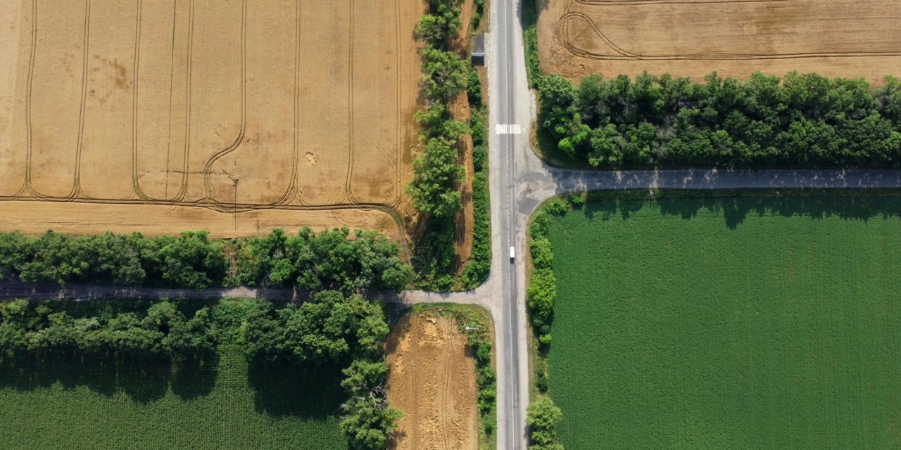
“An Image is 1000 words” is widely used to depict the wealth of information acquired by a single image. This is also true for aerial images.

Orthorectification of Aerial Images
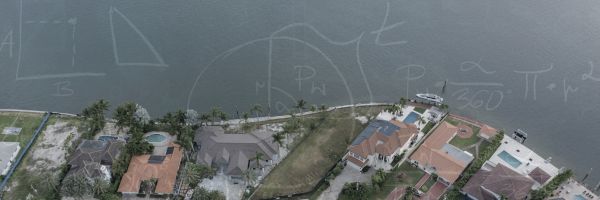
Orthorectification serves as a critical process in aerial imaging, addressing inherent distortions arising from factors such as the Earth’s curvature, …

Our First Blog Article: Welcome!
Thank you for joining us on this exciting journey. Here’s to unlocking the potential of geospatial mapping and orthorectification together!


