Category: General

Differences between aerial imagery and an orthophoto
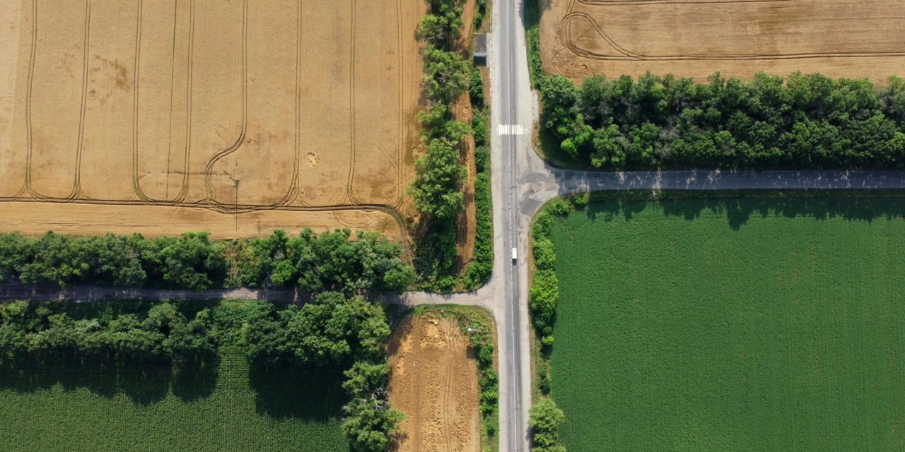
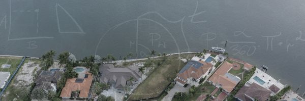
“An Image is 1000 words” is widely used to depict the wealth of information acquired by a single image. This is also true for aerial images.

Orthorectification of Aerial Images
Orthorectification serves as a critical process in aerial imaging, addressing inherent distortions arising from factors such as the Earth’s curvature, …

Our First Blog Article: Welcome!
Thank you for joining us on this exciting journey. Here’s to unlocking the potential of geospatial mapping and orthorectification together!